
Type of Property
Property Category
No.of Bedrooms
Facing
Price Range
Posted by
Purchase type
Construction Status
9 Properties for Buy in
Success!
Blocked!

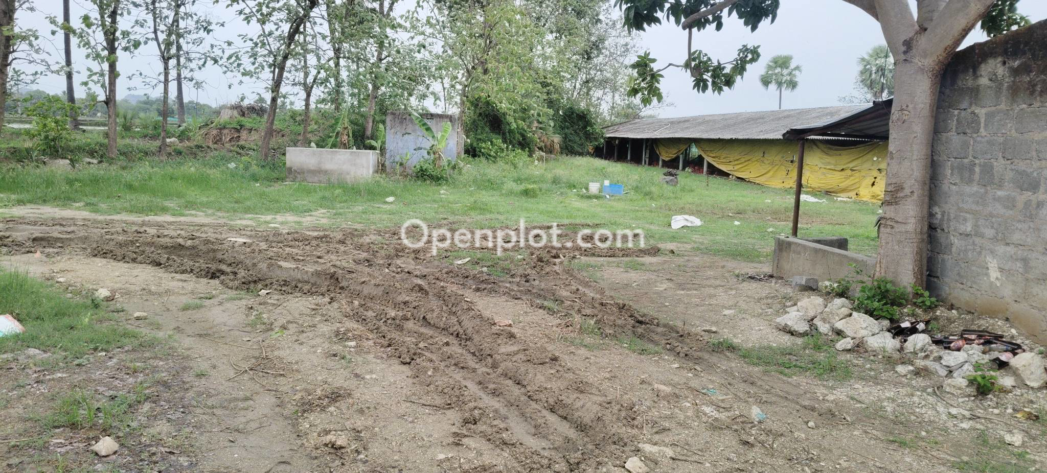
Land for Sale in Pathipak,Warangal
₹35 L @ Rs 4.4 K/- per sqyd
Description : Old land for sale ...
Land for Sale in Parwathagiri,Warangal
₹2.60 Cr @ Rs 86.67 L/- per acre
Description : urgent sale, 3 acres agricultu...
arrow_drop_down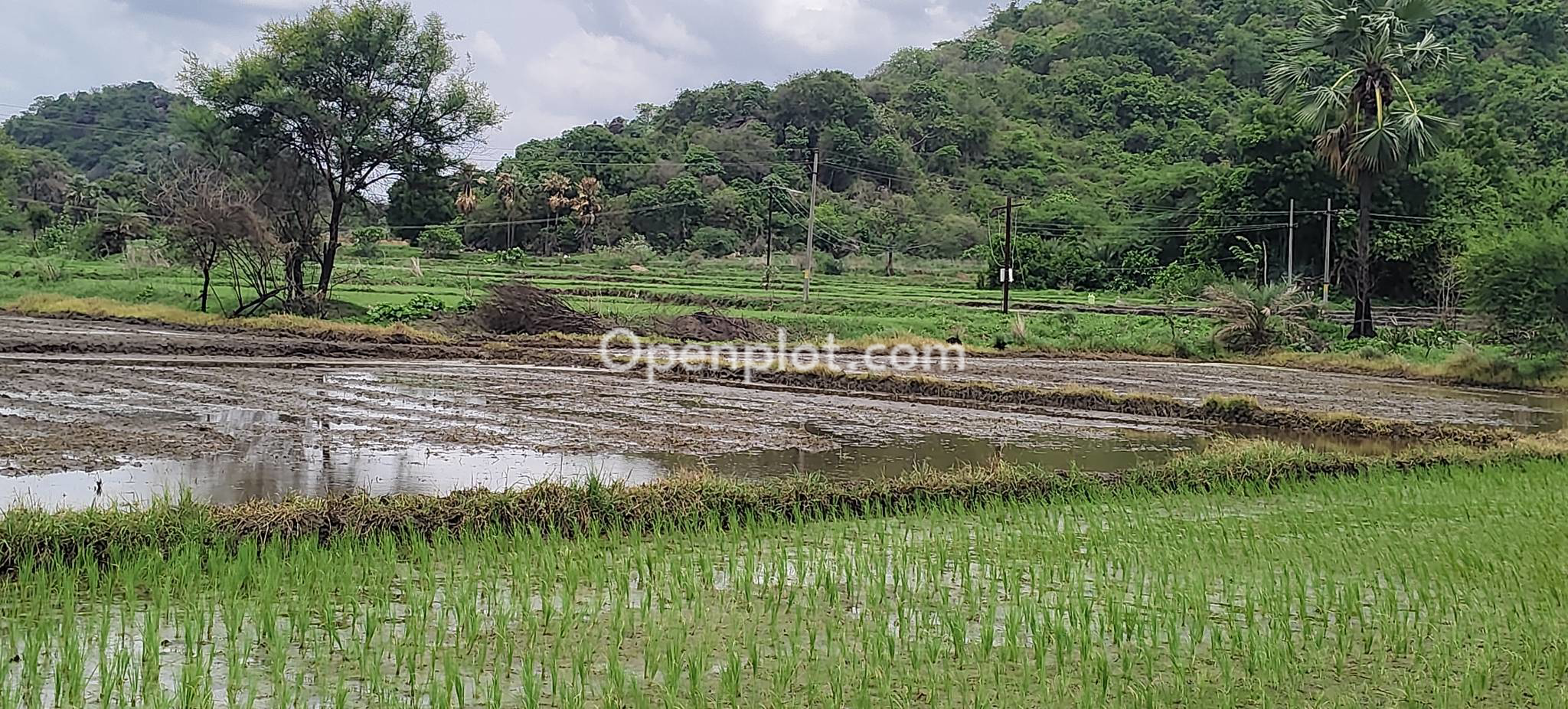
Land for Sale in Redlawada,Warangal
₹50 L @ Rs 50 L/- per acre
Description : urgent sale agriculture land n...
arrow_drop_down
Land for Sale in Parkal,Warangal
₹75 L @ Rs 2.42 L/- per guntha
Description : Total land area is 3 acres, of...
arrow_drop_down
Land for Sale in Pallarguda,Warangal
₹70 L @ Rs 70 L/- per acre
Description : Hello, Call me on 9652295170 N...
arrow_drop_down.webp "Land for Sale in Atmakur,Warangal | Openplot")
Land for Sale in Atmakur,Warangal
₹90 L @ Rs 90 L/- per acre
Description : 60 FEETS ROAD EAST FACING, BET...
arrow_drop_down
Land for Sale in Teegarajpalli,Warangal
₹1 Cr @ Rs 14.2 K/- per sqyd
Description : 1st bit sangem main road and 1...
arrow_drop_downLand for Sale in Bollonipalli,Warangal
₹40 L @ Rs Infinity Cr/- per null
Description : It's near to 30 feet black top...
arrow_drop_downLand for Sale in Narsampet,Warangal
₹15 L @ Rs 12.5 K/- per sqyd
Description : Near me hospital narsampet ...
Lands for Sale in Warangal
Lands for Sale in Warangal (9 listings)
Looking for lands for sale in Warangal? Explore agricultural land, vacant land, and other available land parcels across Warangal and nearby locations on Openplot.
Warangal has land listings in areas such as Nekkonda, Parvathagiri, Redlawada, Sangem, and Narsampet. Available properties differ in land size, asking price, road access, and water facilities.
Whether you are purchasing agricultural land for farming or exploring open land for another permitted use, you can browse listings on Openplot. Review property locations, land measurements, prices, photographs, and seller information before arranging a site visit.
Agricultural Land for Sale in Warangal
Buyers looking for agricultural land for sale in Warangal can explore properties across the district's rural mandals and surrounding villages. Agricultural land is used for cultivation and other permitted farming activities.
Some land listings mention borewells, canal access, or groundwater facilities. These details help buyers identify properties that may meet their farming requirements.
Before purchasing agricultural land, check the soil conditions, recorded land area, irrigation facilities, and access for agricultural equipment. If a property includes a borewell, ask about its working condition and water availability during different seasons.
Buyers can also check whether the land is currently cultivated, left fallow, or used for another permitted agricultural activity.
If you are looking for a smaller residential property within a plotted development, explore plots for sale in Warangal.
Areas to Explore for Land for Sale in Warangal
Land availability in Warangal differs between village locations, agricultural areas, and land closer to established towns.
Nekkonda, Pathipaka, and Redlawada
Nekkonda mandal includes villages such as Pathipaka and Redlawada. Buyers can explore agricultural land and other available land listings across these locations.
Check the property's distance from Nekkonda town, approach-road conditions, irrigation facilities, and survey boundaries. Land near a village road may have different access arrangements from a parcel located farther inside an agricultural area.
Parvathagiri and Surrounding Villages
Parvathagiri is another location to explore land in Warangal district. Available listings can include larger land parcels advertised with agricultural facilities.
Buyers can check the recorded extent, borewell information, surrounding land use, and access to connecting roads. Confirm the property's exact village and survey number before reviewing the ownership documents.
Sangem, Pallarguda, and Teegarajpalli
Sangem mandal includes villages listed in district records as Pallaruguda and Theegarajupalle. Property advertisements may use spelling variations such as Pallarguda and Teegarajpalli.
When exploring land in these locations, verify the official village name, road access, land boundaries, and water facilities. The official village and survey details help identify the correct parcel in revenue records.
Narsampet and Nearby Villages
Narsampet and its surrounding villages provide additional locations for land searches in Warangal district.
Buyers can explore available land parcels based on their intended use and required area. For properties closer to Narsampet town, check the land classification, surrounding development, access roads, and applicable planning restrictions.
Parkal and Atmakur in the Greater Warangal Region
Some Openplot listings under Warangal searches also refer to Parkal and Atmakur. These locations belong to Hanumakonda district under Telangana's current administrative boundaries.
Buyers reviewing these listings should verify the correct district, mandal, village, and survey number. Administrative location matters when checking land records and registration documents.
Land Prices in Warangal and Common Land Measurements
Land prices in Warangal depend on location, land area, permitted use, road connectivity, and irrigation facilities.
Agricultural properties are commonly advertised using rates per acre or gunta. Smaller vacant parcels may be advertised using square-yard measurements.
Common land measurements in Telangana include:
- 1 acre: 40 guntas or 4,840 square yards.
- 1 gunta: 121 square yards or 1,089 square feet.
- 1 square yard: 9 square feet.
A land advertisement can show both the total asking price and a rate per unit of area. Buyers need to distinguish these amounts before reviewing properties.
For example, a three-acre property advertised with a price per acre represents three acres of land. The total land price is calculated using the quoted per-acre rate and the actual area being sold.
Also, confirm whether the sale involves the entire survey parcel or a specified portion. The documented area must match the portion being transferred. Registration expenses, applicable taxes, and other transaction charges can increase the total purchase amount.
Read More: How to Convert Agricultural Land to Residential Property in India
Documents to Check Before Buying Land in Warangal
Before buying land in Warangal, review the property's ownership documents, land records, and applicable legal permissions.
The following checks can help identify matters requiring verification:
- Sale deed and ownership history: Examine the registered sale deed and previous link documents to establish the seller's ownership history.
- Land records: Check the recorded owner, survey number, and land extent through the Telangana Bhu Bharati portal.
- Encumbrance Certificate (EC): Review available registered transactions and encumbrances for the relevant period. An EC does not independently establish clear legal title.
- Survey and subdivision details: Match the recorded survey number and extent with the property being sold. A subdivision may be necessary when only part of a larger parcel is involved.
- Prohibited-property status: Check whether the land is subject to registration restrictions, government ownership claims, or other applicable prohibitions.
- Land conversion records: If the land is intended for non-agricultural use, verify whether the necessary Non-Agricultural Lands Assessment (NALA) conversion has been completed.
- Planning approvals: For plotted developments, request the sanctioned layout and verify it with the relevant authority, including KUDA where its jurisdiction applies.
- TG RERA registration: For applicable real estate development projects, verify the project and promoter details through the Telangana RERA website.
Land buyers can use an independent property lawyer to examine title documents and identify legal issues before registration.
Read More: Land Records Made Easy: How to Check and Verify Land Ownership Online?
What to Check During a Land Site Visit in Warangal
A site visit helps confirm the property's physical condition and whether the information in the advertisement matches the actual land.
Land boundaries and measurements
Ask the seller to identify the parcel boundaries. Compare the physical extent with the survey records and registered documents. For properties without clear boundary markers, an authorised land survey can help establish the area being transferred.
Road connectivity and access rights
Inspect the road leading to the property. Check whether access is available directly from a public road or through an adjoining parcel. Where access depends on another property, verify the legal right of way through the relevant documents.
Water availability and drainage
For agricultural land, examine the advertised borewell, canal connection, or other irrigation arrangement. Confirm whether these facilities are functional and available for use. Also, inspect the drainage conditions and check for signs of seasonal water accumulation.
Nearby land use and development restrictions
Observe nearby agricultural activities, roads, buildings, and water bodies. Land near lakes, drainage channels, or protected areas may be subject to development restrictions. Confirm the applicable land-use rules before planning construction or other non-agricultural activities.
How to Find Land for Sale in Warangal on Openplot
Openplot provides land listings from owners and agents across Warangal and nearby areas.
Start by browsing available properties on the Warangal land listings page. Use the available filters to narrow your search by asking price, property category, facing direction, and seller type.
Each listing can provide details such as land area, asking price, photographs, location, and advertised water facilities. You can also identify whether a property has been posted by an owner or agent before contacting the advertiser.
When reviewing a listing, confirm the land measurement unit and the actual area being sold. Request the survey number and relevant documents before paying a booking amount. A verification badge on a property listing does not replace independent verification of ownership and legal permissions.
Explore Lands for Sale in Warangal on Openplot
Browse land for sale in Warangal on Openplot to explore available agricultural and vacant land across different locations.
Review land sizes, asking prices, photographs, and advertiser details. Shortlist properties that match your requirements and contact the listed owner or agent to arrange a site visit.
Before completing a purchase, verify the land documents, ownership history, actual boundaries, and permitted land use.
Frequently Asked Questions
What types of land are available for sale in Warangal?
Land listings in Warangal include agricultural land, vacant land, and other land parcels advertised for sale. Properties differ in area, location, water facilities, and permitted use. Buyers can explore available listings on Openplot and verify the land classification before purchasing.
Where can I find agricultural land for sale in Warangal?
Agricultural land listings can be explored in areas such as Nekkonda, Redlawada, Parvathagiri, Sangem, and nearby villages. Available properties can differ in size, irrigation arrangements, and road connectivity. Buyers can search these locations on Openplot and contact advertisers for property-specific information.
How much does one acre of land cost in Warangal?
The asking price for one acre of land in Warangal varies by location, road access, irrigation facilities, and land-use classification. Properties closer to established roads or settlements can have different prices from land in interior agricultural areas. Current listings provide location-specific asking prices.
How many guntas are there in one acre of land?
One acre contains 40 guntas. Each gunta equals 121 square yards, making one acre equivalent to 4,840 square yards. These measurements are commonly used for agricultural land transactions in Telangana. Buyers can check the recorded area in land documents.
Can I buy agricultural land directly from an owner in Warangal?
Buyers can explore owner-posted agricultural land listings on Openplot. Before purchasing, verify the owner's legal authority to sell the property and examine the ownership records, registered deeds, and survey information. The transaction must also comply with applicable land transfer and registration requirements.
Can agricultural land in Warangal be converted into residential land?
Agricultural land can be considered for non-agricultural conversion under Telangana's applicable NALA framework. Residential use also depends on zoning and planning permissions. Buyers need to verify the land's conversion status and obtain any additional approvals required for the proposed development.
How can I check land records online in Warangal?
The Telangana Bhu Bharati portal provides online access to land-record information. Buyers can search using available district, mandal, village, survey, or other supported property details. These records can be reviewed alongside registered ownership documents and information obtained from the relevant revenue authorities.
What is the purpose of an Encumbrance Certificate for land?
An Encumbrance Certificate contains details of registered transactions and encumbrances associated with a property during a specified period. Buyers use it to review certain recorded transfers and financial claims. It does not establish ownership conclusively, so other title documents also require examination.
What does NALA conversion mean for land in Warangal?
NALA refers to the regulatory framework for converting agricultural land to non-agricultural use in Telangana. The process involves applicable charges and land-record updates. Buyers can check the property's conversion documents and recorded classification when considering land for non-agricultural activities.
What is KUDA approval for land in Warangal?
KUDA stands for Kakatiya Urban Development Authority. It handles planning and development matters within its designated jurisdiction. A KUDA-approved layout has received permission under applicable layout regulations. Layout approval does not independently establish clear ownership or replace other required permissions.
Is TG RERA registration necessary for agricultural land in Warangal?
The sale of an individual agricultural land parcel does not automatically require TG RERA project registration. Registration requirements apply to covered real estate development projects, subject to statutory exemptions. Buyers can verify whether a plotted development requires registration through the Telangana RERA portal.
Is a borewell necessary when buying agricultural land in Warangal?
A borewell is one possible source of irrigation water for agricultural land. Other properties may have access to canals or different water arrangements. The requirements depend on the intended farming activity and available irrigation facilities. Buyers can inspect the advertised water source during a site visit.
Are Parkal and Atmakur part of Warangal district?
Parkal and Atmakur are currently administered under Hanumakonda district, although property searches sometimes group them within the broader Warangal region. Buyers reviewing land in these locations need to use the correct district and mandal details when checking official revenue and registration records.
How can I find land listed directly by owners in Warangal?
Openplot provides a seller-category filter that allows buyers to view owner-posted listings where available. You can review the advertised location, land area, asking price, and photographs before contacting the owner. Verify ownership documents and the seller's identity independently before making a payment.
Discover Top Property Searches
Explore trending apartments, villas, plots, and premium properties across India’s top cities and emerging locations.