
Type of Property
Property Category
No.of Bedrooms
Facing
Price Range
Posted by
Purchase type
Construction Status
15 Properties for Buy in
Success!
Blocked!
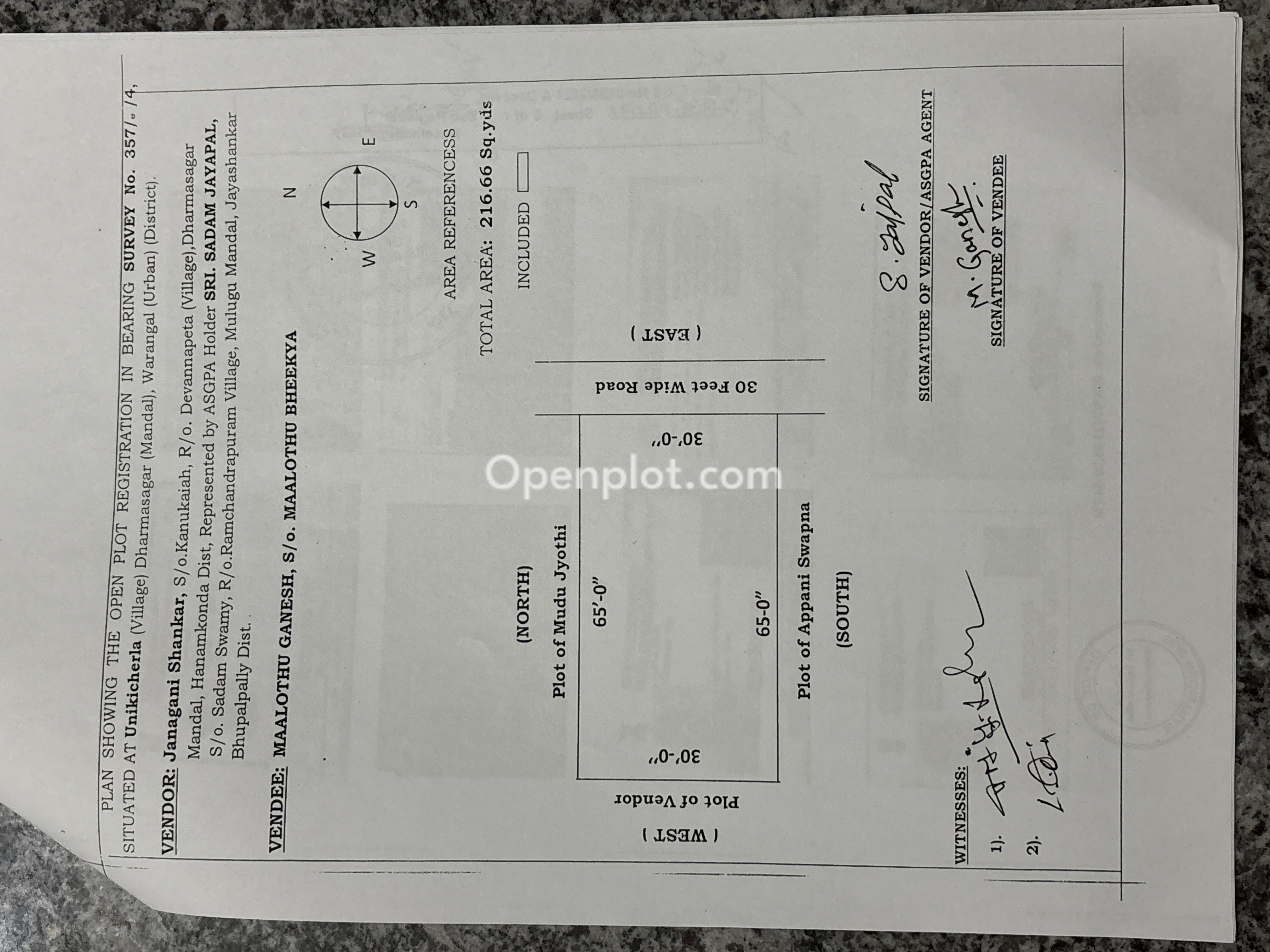
Plot for Sale in Unikicherla,Hanumakonda
₹25 L @ Rs 11.6 K/- per sqyd
Description : plot located at Unikicherlla n...
arrow_drop_down
Plot for Sale in KM College,Hanumakonda
₹53.12 L @ Rs 32 K/- per sqyd
Description : open plot for sale ...

Plot for Sale in Devannapet,Hanumakonda
₹35 L @ Rs 14.5 K/- per sqyd
Description : వరంగల్ మున్సిపల్ కార్పోరేషన్ ప...
arrow_drop_down
Plot for Sale in Chintagattu,Hanumakonda
₹60 L @ Rs 21 K/- per sqyd
Description : sale property...

Plot for Sale in Hanamkonda,Hanumakonda
₹18 L @ Rs 9 K/- per sqyd
Description : Openplot for sale 201sq.yards ...
arrow_drop_down
Plot for Sale in Hanamkonda,Hanumakonda
₹48.2 L @ Rs 20 K/- per sqyd
Description : plot located at Unikicherlla n...
arrow_drop_down
Plot for Sale in Hanamkonda,Hanumakonda
₹42 L @ Rs 21 K/- per sqyd
Description : For sale: 200 sq yards of open...
arrow_drop_down
Plot for Sale in Bheemaram,Hanumakonda
₹33 L @ Rs 16.1 K/- per sqyd
Description : East-facing 205 sq. yard open ...
arrow_drop_down.webp "Plot for Sale in Gorrekunta,Hanumakonda | Openplot")
Plot for Sale in Gorrekunta,Hanumakonda
₹32 L @ Rs 16 K/- per sqyd
Description : Residential Plot for Sale in W...
arrow_drop_down
Plot for Sale in Arepalli,Hanumakonda
₹75.5 L @ Rs 22.9 K/- per sqyd
Description : Ready to construct with G+1 co...
arrow_drop_down
Plot for Sale in Arepalli,Hanumakonda
₹50 L @ Rs 21.9 K/- per sqyd
Description : ready to construct with G+1 co...
arrow_drop_down
Plot for Sale in Rampur,Hanumakonda
₹40 L @ Rs 19.1 K/- per sqyd
Description : 209sq.yds near to highway and ...
arrow_drop_down
Plot for Sale in Arepalli,Hanumakonda
₹55 L @ Rs 18 K/- per sqyd
Description : It's a secure and near to ORR ...
arrow_drop_down
Plot for Sale in Peddapendyal,Hanumakonda
₹75 L @ Rs 15 K/- per sqyd
Description : Best property in developing ar...
arrow_drop_down
Plot for Sale in Devannapet,Hanumakonda
₹45 L @ Rs 18.6 K/- per sqyd
Description : 30feet road, Near to main road...
arrow_drop_downPlots for Sale in Hanumakonda:
Plots for Sale in Hanumakonda (15 listings)
Hanumakonda is part of the Warangal urban region in Telangana and includes established residential areas, educational institutions, transport links, and developing localities. Its location alongside Warangal and Kazipet creates a connected urban area with road and rail access across the region.
People searching for plots for sale in Hanumakonda can find individual residential plots, plots within planned layouts, resale properties, and larger land parcels. Each property differs in area, dimensions, road access, facing, land use, layout status, and surrounding development.
Openplot brings property listings from Hanumakonda and surrounding localities onto a single search platform. Listing information provides an initial view of the property, while planning records, ownership documents, and site conditions relate to the individual parcel.
Where Are Plots Available in Hanumakonda?
Plot listings are available throughout central Hanumakonda, the surrounding mandals, and residential areas. Locations commonly associated with property searches include Hanamkonda, Kazipet, Hasanparthy, Dharmasagar, Devannapet, Bheemaram, Madikonda, Kadipikonda, and other parts of the district.
Hanamkonda
Hanamkonda includes established residential, institutional, commercial, and civic areas. Plots within the urban area can differ from properties on the outskirts in terms of dimensions, surrounding construction, road access, and available infrastructure. Exact characteristics depend on the individual location.
Kazipet
Kazipet forms part of the wider Hanumakonda-Warangal urban area and is associated with a major railway junction. Residential areas around Kazipet include Madikonda, Kadipikonda, Somidi, Rampur, and other localities. Property type and layout status differ between individual sites.
Hasanparthy
Hasanparthy is a mandal in Hanumakonda district and includes localities such as Devannapet and Bheemaram. Properties in this part of the district can include individual plots and parcels within developing residential areas. Survey details, approach roads, permitted land use, and layout information remain property-specific.
Dharmasagar
Dharmasagar is another mandal within Hanumakonda district. Listings in and around the area can include residential plots and larger land parcels. The exact village, survey number, road connection, land classification, and planning status identify the individual property.
Madikonda and Kadipikonda
Madikonda and Kadipikonda fall within the Kazipet mandal. Both locations appear in residential property searches around the wider Kazipet-Hanumakonda area. Plot dimensions, layout approvals, road width, and development status vary between properties.
What Plot Sizes and Property Types Are Available in Hanumakonda?
Property listings use different measurements depending on the type and extent of land. Residential plots are frequently described in square yards, while larger parcels can be shown in guntas or acres.
Residential Open Plots
An open plot is an individual parcel of vacant land. Its property details can include total area, frontage, depth, facing, road access, survey number, and applicable land-use information.
Plots Within Residential Layouts
Some plots form part of a larger residential layout. Such properties can have defined internal roads, plot numbers, common open spaces, and other layout features. The applicable sanctioned layout identifies the approved configuration.
Resale Plots
Resale plots have an existing ownership and transaction history. The current sale relates to an already owned parcel rather than its first transfer from a project promoter or developer.
Larger Land Parcels
Larger parcels can be measured in guntas or acres rather than square yards. A larger parcel is not automatically an approved residential plot. Land classification, subdivision status, planning requirements, and permitted use depend on the individual property.
Read More: Understanding Different Types of Investment Property
How Is Hanumakonda Connected by Road and Rail?
Hanumakonda forms part of a connected urban area with Warangal and Kazipet.
Road Connectivity
The regional road network connects Hanumakonda with Warangal, Kazipet, Hyderabad, and other Telangana locations. NH 163 forms part of the Hyderabad-Warangal corridor. Local and regional roads connect individual residential areas with the wider highway network. Road access varies within the district. The distance from a plot to a highway or major road depends on its exact location.
Rail Connectivity
Kazipet Junction is an important railway station serving the wider urban region. Warangal railway station provides another rail connection. The relevant station for a property depends on its location and the required train route.
Bus Connectivity
State and local bus services operate across the Hanumakonda-Warangal urban area and connect with other parts of Telangana. Service frequency and travel routes depend on the individual location and current transport schedules.
Air Connectivity
Rajiv Gandhi International Airport in Hyderabad is the nearest major commercial airport identified by the Hanumakonda district administration. Airport travel distance varies according to the starting point and road route.
What Schools, Colleges and Healthcare Facilities Are Around Hanumakonda?
Hanumakonda and the wider Warangal urban area include educational, healthcare, retail, and public-service infrastructure. The distance from any plot to a particular facility depends on the property's exact location.
Educational Institutions
National Institute of Technology Warangal is located in Hanumakonda. Kakatiya University is located at Vidyaranyapuri in Hanamkonda. Schools, colleges, and other educational institutions are also present across the wider urban area.
Healthcare Facilities
Government healthcare facilities serving the Hanumakonda-Warangal area include MGM Hospital and other public medical institutions. Private hospitals, clinics, pharmacies, and diagnostic centres also operate across different localities.
Shopping and Daily Services
Hanumakonda contains markets, retail areas, supermarkets, banks, restaurants, and other everyday services. The availability of such facilities varies considerably between central areas and developing locations.
What Property Details Matter in a Hanumakonda Plot Listing?
A plot's total area provides only one part of the property information. Dimensions, access, orientation, ground conditions, and layout details provide additional context about the parcel.
Plot Area
Plot area indicates the total extent of the parcel. Listings can display area in square yards, square feet, guntas, acres, or another applicable measurement.
Frontage and Depth
Two plots with the same total area can have different dimensions. Frontage identifies the width facing the access side, while depth describes the distance extending into the property.
Road Access and Road Width
A plot can face an internal layout road, local road, connecting road, or other access route. For properties inside an approved layout, the sanctioned layout plan can identify the applicable road width and road alignment.
Plot Facing
Property listings commonly identify plots as east-, west-, north-, or south-facing. Facing describes the orientation of the parcel. It does not establish the legal status, suitability, price, or future performance of a property.
Corner Plot
A corner plot has road frontage on two sides. Its dimensions, applicable setbacks, access points, and usable building area depend on the individual layout and building regulations.
Ground Level and Drainage
Ground level describes how the plot sits relative to surrounding roads and properties. Site slope, drainage paths, nearby water bodies, soil conditions, and existing development vary from one parcel to another.
Plot Boundaries
Plot boundaries identify the physical extent of the property. Survey information, plot numbers, boundary markers, adjoining properties, and registered documents provide relevant parcel details.
Read More: Telangana Real Estate Growth Shifts Focus to Emerging Cities in Telangana
What Amenities Can Be Included in Plotted Developments?
Facilities vary between plotted developments. An individual project can provide some, all, or none of the features commonly associated with a developed layout.
Listed features can include:
- Internal roads
- Street lighting
- Drainage systems
- Water-line provisions
- Electrical infrastructure
- Entrance or boundary arrangements
- Landscaped open spaces
- Parks or play areas
- Community spaces
A proposed amenity and a completed amenity represent different stages of development.
For existing projects, site conditions show what is currently available. Sanctioned project documents contain the approved layout information.
Which Authority Handles Layout Planning in Hanumakonda?
The Kakatiya Urban Development Authority (KUDA) is the urban development authority for the Kakatiya Development Area. Its notified jurisdiction covers locations across Hanumakonda, Warangal, and parts of Jangaon districts.
KUDA also publishes the Master Plan 2041 for the development area. The master plan provides planning and land-use information relevant to properties within its jurisdiction. This means property descriptions in Hanumakonda need to refer to the authority applicable to the actual property location.
HMDA relates to the Hyderabad metropolitan region and is not the urban development authority for Hanumakonda.
What Does LRS Mean for Plots in Hanumakonda?
LRS stands for Layout Regularisation Scheme. Telangana's LRS framework addresses qualifying plots within unapproved or unauthorised layouts under the applicable rules.
The Telangana LRS portal defines an unapproved layout as land divided into plots without the required permission from the competent planning authority. It also states that a Gram Panchayat layout without the required technical approval is not treated as an approved layout under the scheme.
Property descriptions can use different LRS terms, including:
- LRS applied
- LRS payment made
- LRS proceedings issued
- LRS regularised
These terms do not describe the same stage.
An LRS payment receipt alone does not establish final regularisation. The Telangana LRS portal states that receipt of charges remains subject to approval and final calculation.
The current LRS 2020 framework also contains eligibility conditions based on the date of the registered sale deed and other scheme requirements.
How Does TG RERA Apply to Plotted Developments?
The Telangana Real Estate Regulatory Authority regulates real estate projects covered by the Real Estate (Regulation and Development) Act and applicable Telangana rules.
Qualifying plotted real estate developments can fall within TG RERA requirements.
TG RERA also specifies exemptions based on factors such as development area, project characteristics, and applicable permission dates. Registered-project information is available through the TG RERA portal.
For a plotted development covered by RERA, project registration information is separate from an individual plot's ownership records, survey details, title history, or other property documents.
Read More: How TGIIC, HMDA, and GHMC Support Real Estate in Telangana
What Property Documents Are Associated With a Plot?
Documents vary according to the property type, ownership history, planning status, and transaction.
Property records associated with plot transactions can include:
- Registered sale deed
- Earlier ownership documents
- Survey number and subdivision information
- Encumbrance information
- Sanctioned layout plan, where applicable
- Layout approval details
- LRS proceedings, where applicable
- TG RERA project information, where applicable
- Revenue records relevant to the property
- Land-use or master-plan information
- Applicable local tax records
Each document addresses a different part of the property information.
For example, a layout approval relates to the planned subdivision, while ownership documents relate to title and transaction history.
What Registration Details Apply to Plots in Telangana?
Property registration in Telangana is handled through the state's registration framework. Government property services provide access to information such as market values, registration-related charges, registered document details, encumbrance information, and sub-registrar information.
The applicable stamp duty, registration fee, transfer-related charges, and other statutory amounts depend on the transaction and government rates in force when the property is registered.
For this reason, a fixed percentage stated in evergreen property content can become outdated. Property value used for registration purposes and the asking price shown in a property listing are also separate pieces of information.
How Do Hanumakonda Plot Listings on Openplot Present Property Information?
Openplot is a property listing platform where users can search available plots and land based on their own requirements.
Depending on the individual listing, property information can include:
- Locality
- Plot or land area
- Measurement unit
- Asking price
- Price per listed unit
- Facing
- New or resale status
- Property category
- Posting type
- Property description
- Available features
Not every listing contains the same information.
A listing represents the property information displayed on the platform. Government planning records, property documents, survey information, and physical site conditions remain separate sources of property information.
Overview of Plots for Sale in Hanumakonda
Plots for sale in Hanumakonda cover different locations, plot dimensions, property types, access conditions, layout categories, and development stages.
Hanamkonda, Kazipet, Hasanparthy, Dharmasagar, Madikonda, Devannapet, Bheemaram, and surrounding areas represent different parts of the district's property landscape.
The details associated with one plot do not automatically apply to another. Plot area, dimensions, road access, land use, layout status, planning information, surrounding development, and ownership records remain specific to each parcel.
Openplot provides property listings that let users search plots for sale in Hanumakonda using available location, property type, size, price, facing, and other listing information. Property selection and the final transaction decision remain with the buyer.
Frequently Asked Questions
What types of plots are available for sale in Hanumakonda?
Property listings can include individual residential plots, plots within layouts, resale plots, and larger land parcels. Properties differ by area, location, facing, road access, planning status, and surrounding development.
Which areas have plots for sale in Hanumakonda?
Plot searches can include Hanamkonda, Kazipet, Hasanparthy, Dharmasagar, Madikonda, Kadipikonda, Devannapet, Bheemaram, Rampur, and other localities within the district and wider urban area.
Is Hasanparthy in Hanumakonda district?
Yes. Hasanparthy is one of the revenue mandals in Hanumakonda district. Devannapet and Bheemaram are among the villages listed within Hasanparthy mandal.
Which authority handles urban development in Hanumakonda?
KUDA, or the Kakatiya Urban Development Authority, handles planning for the notified Kakatiya Development Area. Its jurisdiction includes locations across Hanumakonda, Warangal, and parts of Jangaon districts.
What is KUDA Master Plan 2041?
KUDA publishes Master Plan 2041 for the Kakatiya Development Area. It contains planning and land-use information for areas within the authority's jurisdiction.
What does LRS mean for a plot?
LRS means Layout Regularisation Scheme. Telangana's scheme addresses qualifying plots in layouts that did not have the required planning approval, subject to the rules and eligibility requirements of the scheme.
Does TG RERA apply to plotted developments?
TG RERA applies to qualifying real estate projects, including applicable plotted developments. Statutory exemptions also exist. Project registration information is available through the TG RERA website.
How can I check whether a plotted project is registered with TG RERA?
TG RERA provides an online search for registered real estate projects. Project advertisements covered by the Act are also required to carry the applicable RERA registration number.
What documents are associated with a plot purchase?
Relevant records can include a registered sale deed, previous ownership documents, survey details, encumbrance information, applicable layout approval, LRS proceedings where relevant, and planning or revenue records connected with the property.
What is an encumbrance certificate for a property?
An encumbrance certificate provides information about registered transactions or encumbrances recorded for the property during the selected period. It represents one type of property record and does not replace other ownership or planning documents.
What is a corner plot?
A corner plot generally has road frontage on two sides. Its usable area, access points, setbacks, and construction possibilities depend on plot dimensions and applicable building regulations.
What is the difference between an open plot and a layout plot?
An open plot describes vacant land. A plot within a layout forms part of a larger subdivision with defined plots, roads, and other layout elements. Planning and approval status depend on the individual property.
Are amenities included with every plotted development?
No. Amenities differ by project. A development may list internal roads, drainage, water infrastructure, lighting, open spaces, or other facilities. Their actual status depends on the individual development.
How is Hanumakonda connected to Hyderabad?
Hanumakonda is connected to Hyderabad through the regional road network, including the NH 163 corridor. Actual travel distance and journey time depend on the starting location, route, road conditions, and traffic.
Which railway station serves Hanumakonda?
Kazipet Junction is a major railway station serving the wider Hanumakonda-Warangal urban area. Warangal railway station provides another rail connection. The relevant station depends on the property's location and travel route.
Where can Telangana property registration information be checked?
Telangana government property and registration services provide information relating to property values, registration charges, documents, encumbrances, and sub-registrar offices. Current government information applies at the time of a transaction.
What information can I find in a Hanumakonda plot listing on Openplot?
An Openplot listing can contain the locality, area, measurement unit, asking price, facing, purchase type, property category, posting details, and property description. The available fields vary between individual listings.
Discover Top Property Searches
Explore trending apartments, villas, plots, and premium properties across India’s top cities and emerging locations.